19 Freegard Ln
No elevation data
| Name: | No data |
| Distance: | No data |
| Minimum elevation: | No data |
| Maximum elevation: | No data |
| Elevation gain: | No data |
| Elevation loss: | No data |
| Duration: | No data |

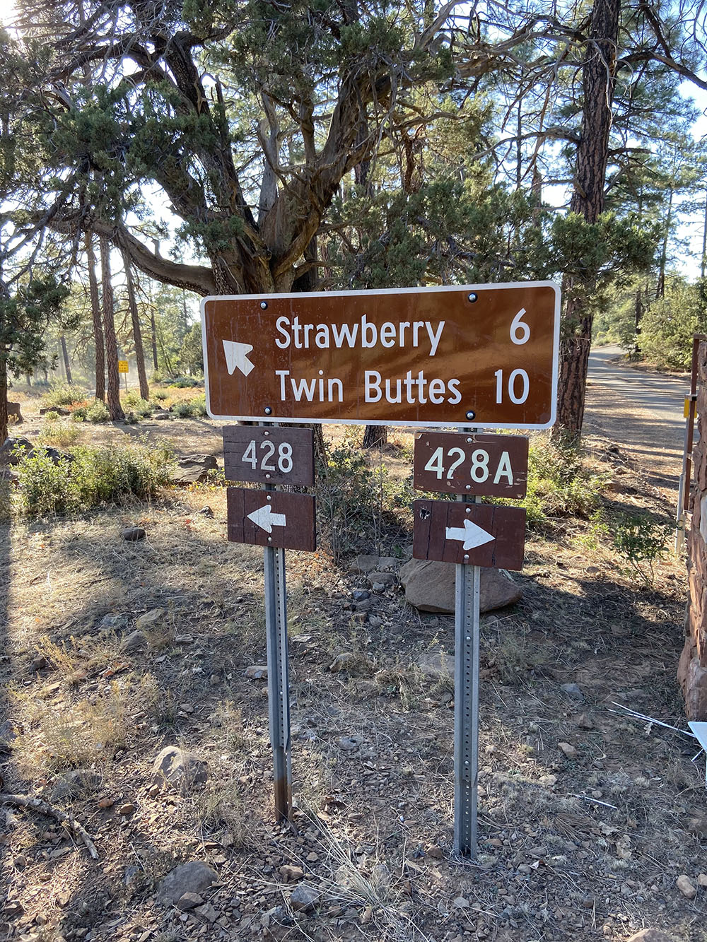
UTV Trails Near Pine & Strawberry, AZ Nestled on the Mogollon Rim in central Arizona, the UTV trails near Pine and Strawberry offer an unforgettable off-road experience through some of the state’s most scenic high-country terrain. These trails wind through lush Ponderosa pine forests, rocky ridgelines, and wide-open meadows with panoramic views. The elevation (ranging […]
Book Now
Powered & Available on
![]() Access
Access
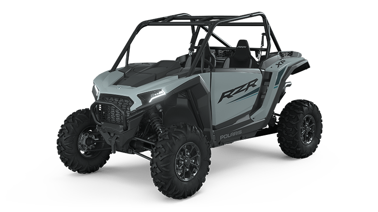
This Trail is available on our Fleet of Polaris UTVs through Ride Command. A GPS Map system used to easily map and navigate turn by turn.
53 Miles
300 Minutes
4/4
12
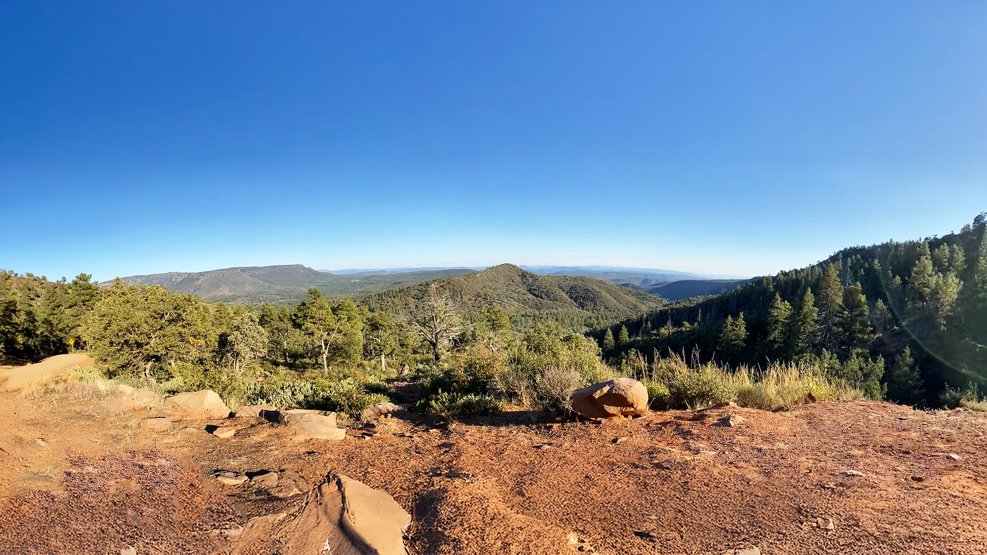
UTV Trails Near Pine & Strawberry, AZ
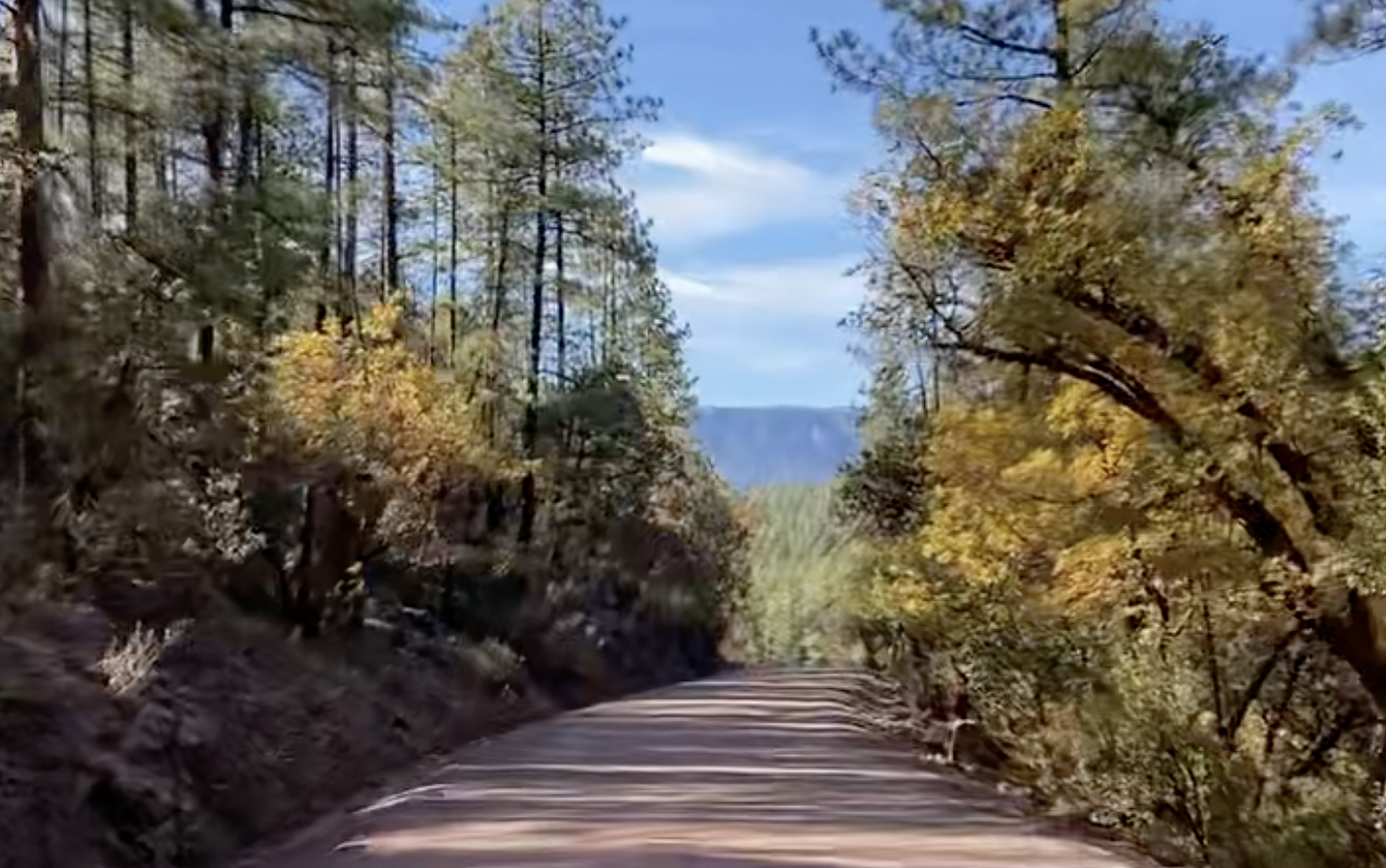
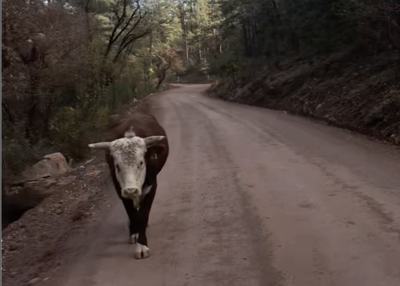
Nestled on the Mogollon Rim in central Arizona, the UTV trails near Pine and Strawberry offer an unforgettable off-road experience through some of the state’s most scenic high-country terrain. These trails wind through lush Ponderosa pine forests, rocky ridgelines, and wide-open meadows with panoramic views. The elevation (ranging from 5,000 to over 7,000 feet) provides a cooler escape from the desert heat and a chance to explore a diverse ecosystem filled with wildlife, wildflowers, and seasonal streams.
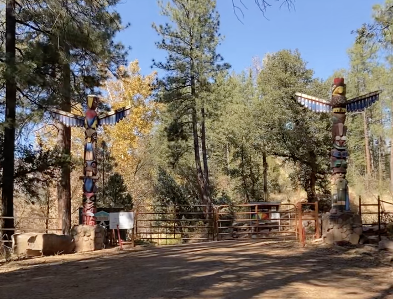
Popular routes include the Milk Ranch Point, Strawberry Mountain, and Control Road (FR 64), each offering a mix of adventure and serenity. Many trails lead to breathtaking overlooks of the Rim and Verde Valley, while others pass by historic cabins, creeks, and hidden clearings ideal for a scenic picnic.
Trail Difficulty:
Most of the trails in this area range from easy to moderate, making them ideal for beginner to intermediate riders. Forest Service roads and connector trails are generally well-maintained but can feature loose rock, ruts, or steep inclines in some areas. After heavy rains or snowmelt, trail conditions may become more challenging, so always check local conditions before heading out.
Whether you’re looking for a peaceful ride through tall pines or a moderate off-road adventure with family and friends, the trails around Pine and Strawberry offer a refreshing, scenic journey into Arizona’s high country.
Scroll horizontally